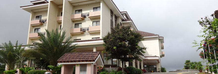
Tagaytay Prior to becoming a city in 1938, Tagaytay was a small mountain village for some 300 families. Because of the vast potentials as a recreational center, development boomed in the 1970’s when investors began building, quickly transforming Tagaytay into a modern city.
Tagaytay Geography. Tagaytay is located 55 kilometers south of Manila. Tagaytay is the highest point in Cavite, Philippines. It lies on top of the Tagaytay Ridge at 640 meters above sea level. Tagaytay is a 65-square kilometer city.
Places To Visit in Tagaytay. Have your picnic and horseback riding at the Tagaytay Picnic Grove. Tee off in any of two Tagaytay’s championship courses, including the Tagaytay Highlands Golf Club. Visit Taal Volcano, enjoy the unobstructed view of the volcano that Tagaytay offers, or trek to its rim if you’re the athletic type.
Relax at Tagaytay’s Japanese Friendship Garden, just beside the Tagaytay Picnic Grove. This 1,200 square meter park brings Tagaytay’s guests closer to nature in vast greeneries and manicured lawn. All in all, Tagaytay is a perfect escape from the Philippines’ generally tropical climate.